World Hexes
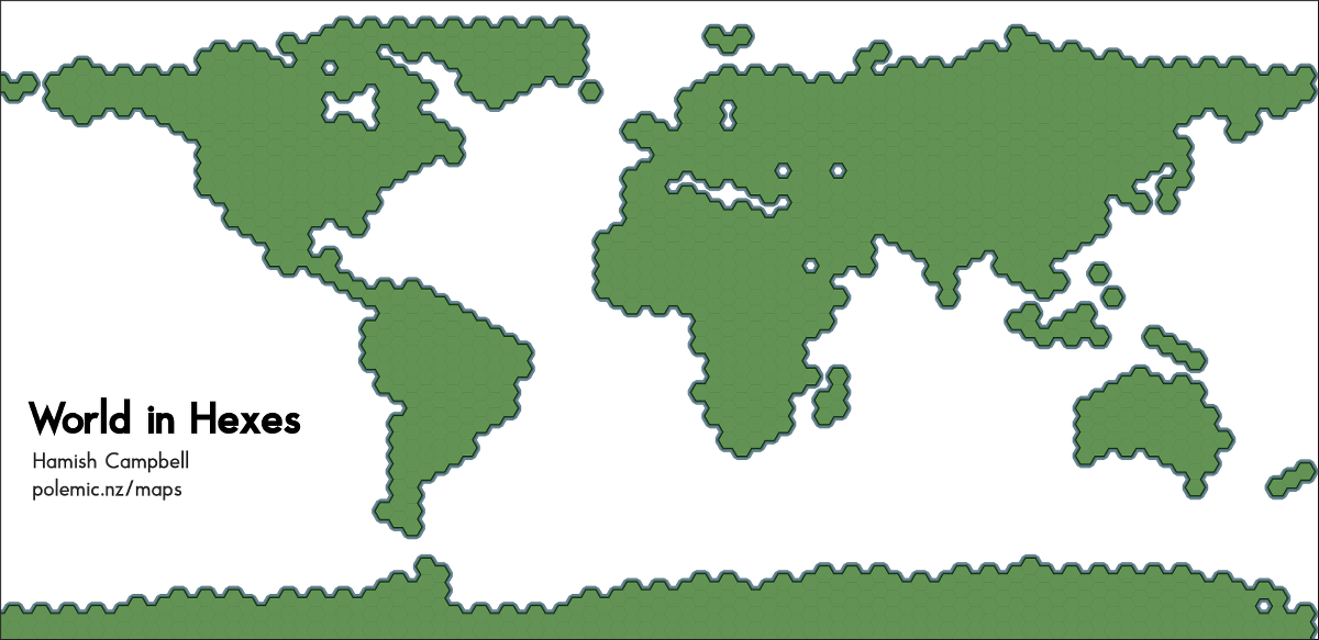
Last hex map for a while, I promise! Strapped for time this week so I was lazy and used the same method as the previous map. This map uses a world country boundaries in a decimal degrees projection (WSG84) with 2.5 degree edge (5 degree span) hexes.
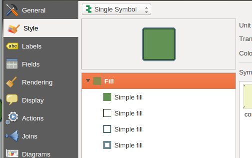
Creating the border effect in QGIS is straight-forward once you understand how "symbol levels" work. The symbology for the layer is quite simple - a polygon fill with a series of border outlines like so:
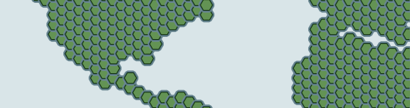
By default, the full symbology for each feature will be drawn one by one, including any overlaps. The end result looks like this:
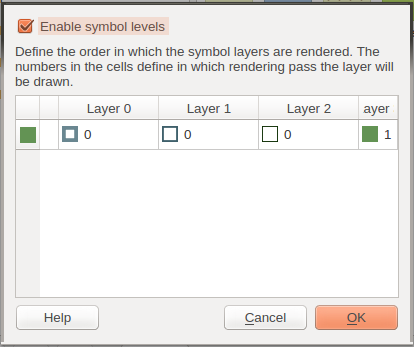
You can change how QGIS draws feature symbology to instead draw each symbol 'level' for all features in sequence. From the "Advanced" menu in the symbology dialog, click "Symbol Levels" and tick the check-box "Enable symbol levels":
This is great for outlining related features, especially when you also stack categorised symbolizers based on feature attributes, like in my previous employment centers map.