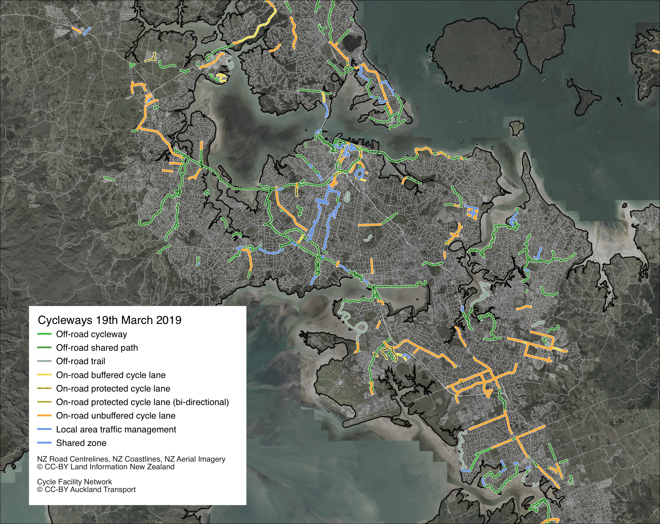
Auckland Cycleways

I've been working with some cycling data recently, and the good people at Bike Auckland have asked if they can post a little map I made the other day. This is a quick look at Aucklands cycling infrastructure as of March 2019, from the Auckland Transport GIS open data portal. Check out the Bike Auckland blog post for an extended look at the state of cycling in Auckland today.
(P.S yes it has been a very long time since I've updated this blog - 3 and half years! Time flies when you're busy. I'm working on a few other maps related to cycling, and I'm looking to launch a project around the upcoming local body elections in New Zealand. More on that later!)
Datasources
- NZ Aerial Imagery (LINZ)
- Other Base data layers (LINZ)
- Cycle Facility Network (Auckalnd Transport)